Where We Drill: the Five-County First Coast
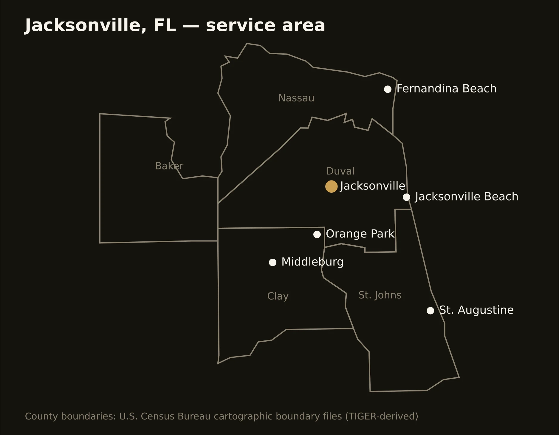
The service area is the OMB-defined Jacksonville metro — Duval, St. Johns, Clay, Nassau, and Baker counties, from the consolidated city's full map to the growth corridor south and the island north. County pages below carry the local picture: the corridors, the sand, and the authorities whose permits govern crossings.
Duval County
The consolidated map: downtown to the beaches, the port, and the bases.
St. Johns County
The boom corridor: the state's fastest growth, down to the oldest city.
Clay County
The westside surge: Fleming Island to Middleburg, and the First Coast Expressway.
Nassau County
The island north: Amelia's resort economy, the mills, and the timber west.
All component counties: Duval · St. Johns · Clay · Nassau · Baker.