St. Johns River Crossings
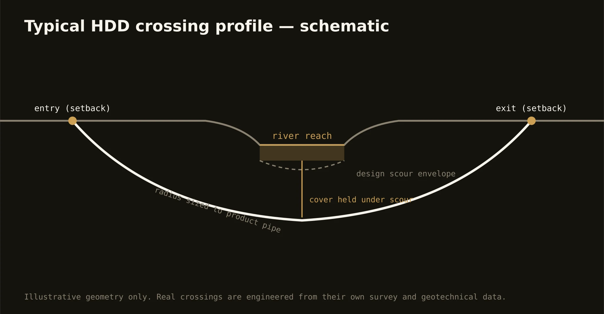
The St. Johns is the metro's organizing fact — a mile-wide tidal river running north through downtown to the Atlantic, carrying JAXPORT's shipping up its dredged channel — and its crossings are the signature First Coast bore. These are engineered shots under working federal water: entry and exit set well back from bulkheads and marsh fringe, a profile holding cover beneath the navigation channel's authorized depth, and shot lengths that put main-stem crossings firmly in major-rig territory, framed honestly at the desk before anyone prices a guess.
The authority stack fits the water: federal navigation review on the channel, water-resource permitting through the state's environmental machinery and the water management district, tidal wetlands jurisdiction along the fringing marshes, manatee-season and habitat conditions where they apply, and the road or rail owner overhead. Our quotes map the stack for your actual reach — main stem, Trout or Arlington tributary, Intracoastal cut, or Ortega bend — and schedule to its honest clocks.
Technically these crossings concentrate the region's ground story: clean sands over deeper marine clays, organics in the marsh-edge approaches, and tidal groundwater throughout — buoyancy math on the pull, dewatered pits at the banks, and fluid discipline at estuary grade, with containment staged both sides and the response plan written before the pilot turns.